 |
| Cox Mountain Trail on Google Earth |
 |
| Footbridge over Eno River |
Location: Eno River State Park (Cox Mountain Trail)
Date: 2/17/2011
Hikers: Myself, Naomi, Joey
How far we went: 3.64mi
How long it took us: 1:30:30
Elevation reached: 706ft
Weather: Party cloudy
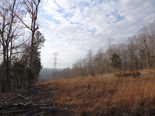
Was a nice day for a hike. The park rated this trail "strenuous" but it's nothing that cant be handled by anyone who is in the least bit of shape. Only somewhat difficult part was actual ascent to the top which is over before you have time to think about it. Very wooded and except for the river, it is not very picturesque.
Was a nice day for a hike. The park rated this trail "strenuous" but it's nothing that cant be handled by anyone who is in the least bit of shape. Only somewhat difficult part was actual ascent to the top which is over before you have time to think about it. Very wooded and except for the river, it is not very picturesque.
 |
| Going up Cox Mountain. |
 |
| Still going up. |


No comments:
Post a Comment