 |
| Company Mill Trail on Google Earth. Recorded by Motion X GPS for the iPhone. |
 |
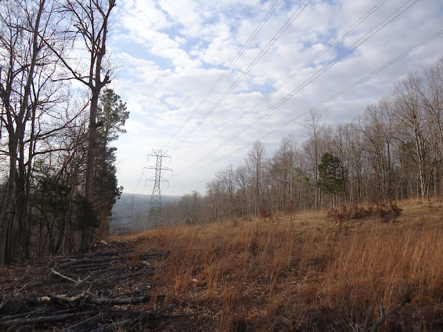
| What most of the trail basically looks like. |
 |
| Some nice views of the water along the way. |
Location: William B. Umstead State Park (Company Mill Trail)
Date: 2/19/2011
How far we went: 5.60mi
How long it took us: 2:11:46
Elevation reached: 611ft
Weather: Sunny
Not a bad little trail. Way too many people on a Saturday morning though. More like an open path rather than a tight trail. It also intersects with bike/horse trails on more than one occasion. Along the way there are signs posted everywhere so you never really feel like you have left civilization. Was nice, but way too crowded. I suggest going during weekdays to avoid the onslaught of Cary people and the mass of dogs they bring... Unless you're into that sorta thing.
 |
| Mill stone near the end of the trail (when going counter-clockwise on map.) |
 |
| Water chillin'. |


